HomeBookContact
Via Ferrata de Saint-Paul de Fenouillet — Via Ferrata Saint-Paul de Fenouillet
Via ferrata/Via Ferrata de Saint-Paul de Fenouillet
Intermediate

Via ferrata — Via Ferrata de Saint-Paul de Fenouillet

Via ferrata above the Agly gorges. Aerial progression on limestone — slabs, cracks, traverses and a monkey bridge — with a panorama over the Pyrenees.

Elevation
180 m
Grade
Slightly Difficult
Total time
~2h30
Max altitude
520 m

The terrain.

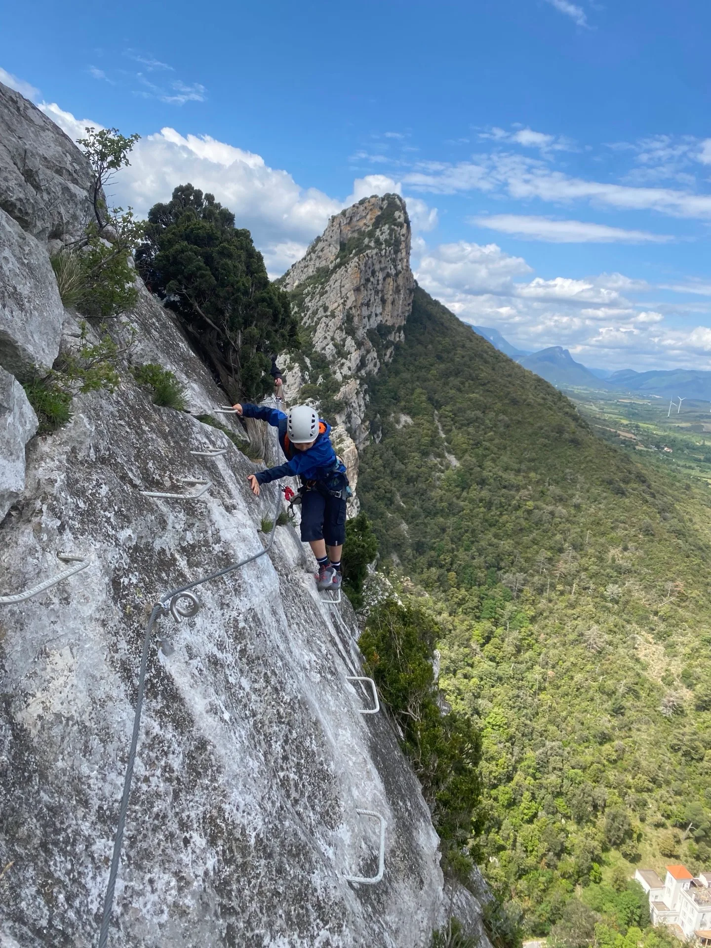
The route climbs the limestone cliffs dominating Saint-Paul de Fenouillet. From the first metres, holds are varied: slabs, cracks, gentle overhangs. The atmosphere is aerial — you progress above the gorges with an open panorama over the Pyrenees.

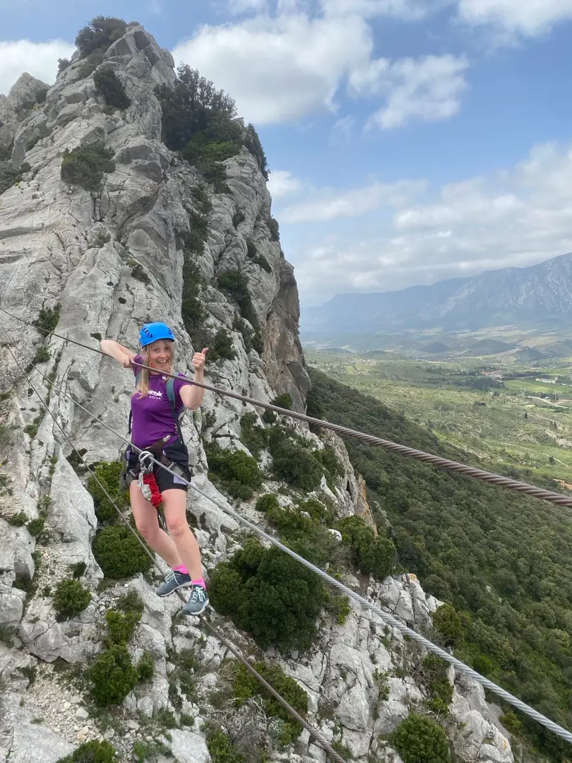
The central section concentrates the most technical passages: exposed traverses, narrow ledge and a monkey bridge stretched between two walls. The descent follows a marked trail with a plunging view over the Agly river and the Fenouillèdes vineyards.
Via Ferrata de Saint-Paul de Fenouillet — Via Ferrata Saint-Paul de Fenouillet (2)Via Ferrata de Saint-Paul de Fenouillet — Via Ferrata Saint-Paul de Fenouillet (3)Via Ferrata de Saint-Paul de Fenouillet — Via Ferrata Saint-Paul de Fenouillet (4)
Saint-Paul de Fenouillet
~2h30
From 10 years old

What's included.

  • HARNESSadult or child harness · provided
  • HELMETcertified helmet · provided
  • LANYARDSvia ferrata lanyard system · provided
  • PHOTOSGoPro loan or photos sent via WhatsApp

Day programme.

Sample schedule — times may vary based on your chosen time, weather, group level, and guide.

09:00Meeting point · briefing · gear upSaint-Paul de Fenouillet
09:20Approach hike — 20 min↑ 80 m D+
09:40Route start — slab and crack entryBottom of wall
10:10Central section — exposed traverse · ledge · monkey bridgeTechnical zone
10:45Summit — Pyrenees panorama · debrief break520 m summit
11:00Descent via marked trailReturn to parking
11:30Gear down · debriefParking
SM
À compléter
BEMF · Via ferrata guide · FRANÇAIS · ENGLISH
"Saint-Paul offers that rare combination: technical moves, exposure, and a vineyard landscape as far as the eye can see."

Location.

42.79994° N · 2.49781° E
View on Google Maps →
Schedule

Upcoming outings.

No outings scheduled for this activity in the next 60 days.

Contact the team